To be listed on the CAMPOSOL TODAY MAP please call +34 968 018 268.
article_detail
Date Published: 30/10/2024
Why it rained so much in Valencia: The science behind Spain's severe DANA storm
Meteorologists have explained just why this week's storm in Valencia was so destructive

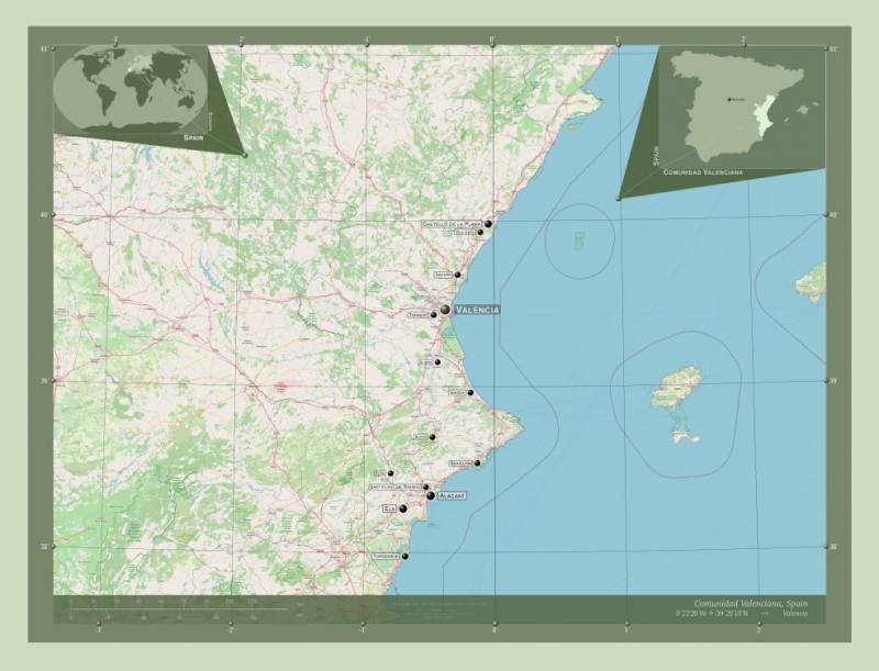
Spain’s eastern regions are grappling with devastating floods and landslides from the intense DANA storm that lashed Valencia and the surrounding areas this Tuesday October 29.
Torrential rains have led to widespread destruction, with at least 70 people confirmed dead and many more displaced from their homes. Roads, rail services and airports are all heavily impacted, while search teams work around the clock to locate missing persons across the affected towns.
The sheer scale of the storm has left entire communities isolated and whole families dead or missing, while emergency services are overwhelmed as authorities in other parts of Spain brace for further downpours over the coming days.
But why exactly was this storm so destructive and deadly?
Scientists have explained that the torrential rains hitting Valencia and other areas of Spain are down to a perfect storm — a mix of cold and warm air meeting over a Mediterranean Sea that’s warmer than usual for this time of year, meteorologists say.
This is essentially a case of what used to be called a ‘cold drop’ or ‘Gota Fría’ but which is now officially known as a DANA (‘Depresión Aislada en Niveles Altos’ or Isolated Depression at High Levels in English).
According to José Ángel Núñez from the State Meteorological Agency (Aemet) in Valencia, the current DANA has formed as a result of the polar jet stream moving southward, bringing extremely cold air at high altitudes (around -22°C to -23°C at 5,500 metres).
This meets warm, humid winds from the east, creating what Núñez calls “deep atmospheric instability”. This collision between cold and warm air generates convection, a process responsible for heavy rains and thunderstorms.
But there’s also another factor intensifying the rainfall – the unusually warm Mediterranean Sea. Juanjo Villena, a meteorologist at Meteored, points out that the current sea temperature sits at around 21°C, about 1.5 degrees above average. This extra warmth further fuels the rising air, encouraging more intense precipitation.
Finally, the peculiar terrain of Valencia has also added to the severity of the storm.
The mountains and hills of the inland regions of Valencia serve to push the moist, easterly winds upwards, where they cool rapidly, creating intense rainfall over the pre-coastal and interior areas.
This pattern has caused the heaviest rain to fall inland, unlike previous downpours that mainly affected coastal zones.
The Aemet has indicated that these conditions are expected to continue, with the rains likely persisting and shifting slightly until Sunday, bringing more challenges to Valencia and beyond, but hopefully nowhere near as strong.
Several charitable associations who are providing disaster relief to the affected areas have set up funds. If you wish to make a donation, you can do so on the websites of the Cruz Roja or Cáritas Valencia
Loading
Sign up for the Spanish News Today Editors Roundup Weekly Bulletin and get an email with all the week’s news straight to your inbox
Special offer: Subscribe now for 25% off (36.95 euros for 48 Bulletins)
OR
you can sign up to our FREE weekly roundup!
Read some of our recent bulletins:
Discount Special Offer subscription:
36.95€ for 48 Editor’s Weekly News Roundup bulletins!
Please CLICK THE BUTTON to subscribe.
(List price 3 months 12 Bulletins)
Read more stories from around Spain:
Contact Murcia Today: Editorial 000 000 000 /
Office 000 000 000


