To be listed on the CAMPOSOL TODAY MAP please call +34 968 018 268.
Walking in Águilas: the Sendero del Baladre route in Águilas
The PR-MU 112 walk is in the mountains which stand to the north of Águilas
The route lies within an area which is included in the Natura 2000 network as a Site of Community Importance and is a ZEPA birdlife protection zone, due to the presence of species such as the eagle owl, the peregrine falcon and the Bonelli’s eagle. The route is also home to other protected species such as the spur-thighed tortoise.
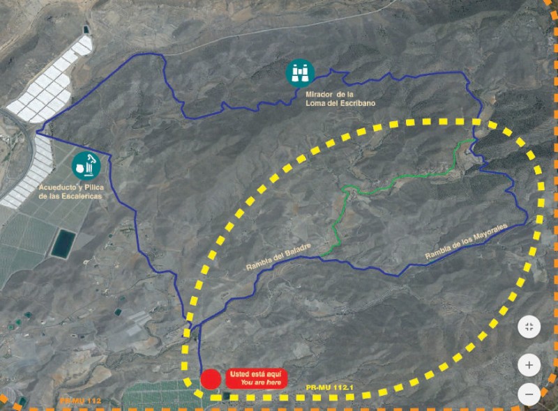
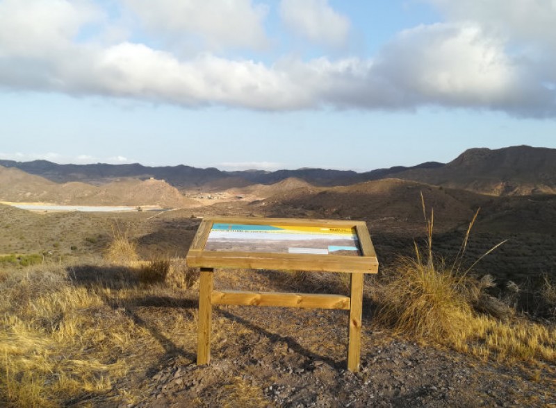
A circular route, it initially follows the Rambla del Baladre and the Rambla de los Mayorales and then runs along unsurfaced tracks, a short stretch of the RM-332 road between Águilas and Mazarrón and finally a tarmacked rural road. From the Loma del Escribano there is a panoramic view out towards the Sierra de Almenara, the castle of Tébar and other interesting locations, and as well as this route there is also a shorter circular one which runs only along the Rambla del Baladre and the Rambla de los Mayorales, avoiding the road.

The beds of the “rambla” floodwater channels along which the path runs are usually dry, but there is still some moisture in the subsoil even during the summer. This is where the vegetation features larger shrubs such as oleanders (giving the route its name, Sendero del Baladre) and lentisks, making it possible to enjoy far lusher greenery than on the hillside, where the most prevalent vegetation is esparto grass.
PR-MU 112
Length: 15 km (9 km on the alternative route)
Ascent: 442 metres (197 metres on the alternative route)
Estimated duration: 3½ hours (2 hours 20 on the alternative route)
Start and finish point: Majada del Moro
Click for the Wikiloc route map, or for more information about the municipality of Águilas visit Águilas Today.


