To be listed on the CAMPOSOL TODAY MAP please call +34 968 018 268.
The Camino de la Romería walking route in Águilas
The walk follows the route of the annual Romería del Rocío in Águilas
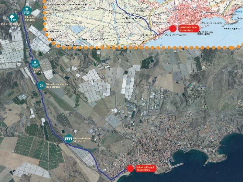
This is a linear walk rather than a circular route, running from the Plaza de la Guardia Civil in the town of Águilas to the Molino del Saltaor beauty spot, and the route is very similar to the one followed during the annual “Romería”, when the figure of the Virgen del Rocío is carried to the mill and spends the night there before returning to the church of San José.
Depending on the time of year it is possible that walkers may encounter flocks of sheep or goats, as after leaving the town centre the path runs along a transhumance farming route or drovers’ road (the Vereda de la Culebrina al Charcón). This in turn passes along the bed of the Rambla de Minglano de Cañarete floodwater channel, which is the main element of the route.
Paths such as this run from one area of pasture to another, making it possible to herd livestock to higher ground during the summer and allowing them to graze on fresher vegetation, before they return to lower ground and warmer climatic conditions for the winter.

Half way along the route, in the Rambla de Minglano de Cañarete, is a containing wall which is designed to divert floodwater, avoiding flooding in surrounding areas: the semi-arid climate of the Region of Murcia is marked by long periods of drought which are punctuated by occasional episodes of heavy rain, which runs directly into the Mediterranean via a series of coastal “ramblas”.
Near the end of the route is one of the rare stretches of rambla where there is always water present, and here the lush vegetation includes reeds, bulrushes, grasses and oleanders. Nightingales live in among the greenery, and alongside the water the birdlife also features herons and wading birds hunting in the water.
At the end of the route the path leaves the bed of the rambla and continues along a service road next to the Águilas-Lorca motorway, before ending at the recreational area of the Molino del Saltaor. This restored water-mill is home to tables, barbecues and areas of shade, and it is also possible to view the mechanisms and machinery which were in use here in the past.
Of course the route can also be followed in the opposite direction, starting at the Molino de Saltaor and ending in the built-up area of Águilas.
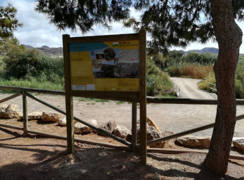
SL-MU 24
Length: 7.74 km
Ascent (starting in the Plaza de la Guardia Civil): 118metres (plus 6 metres of descent)
Estimated duration: 2 hours
Click for the Wikiloc route map, or for more information about the municipality of Águilas visit Águilas Today.


