To be listed on the CAMPOSOL TODAY MAP please call +34 968 018 268.
Rambla de los Calderones, a flood channel and public park in Molina de Segura
24,000 square metres of public park in the south-east of the town centre of Molina

The meteorological, topographical and geological characteristics of the Region of Murcia are such that the landscape features numerous “ramblas”, flood channels which may remain dry for years at a time and only fill with water in periods of heavy rain, and there are various of these in the municipality of Molina de Segura.
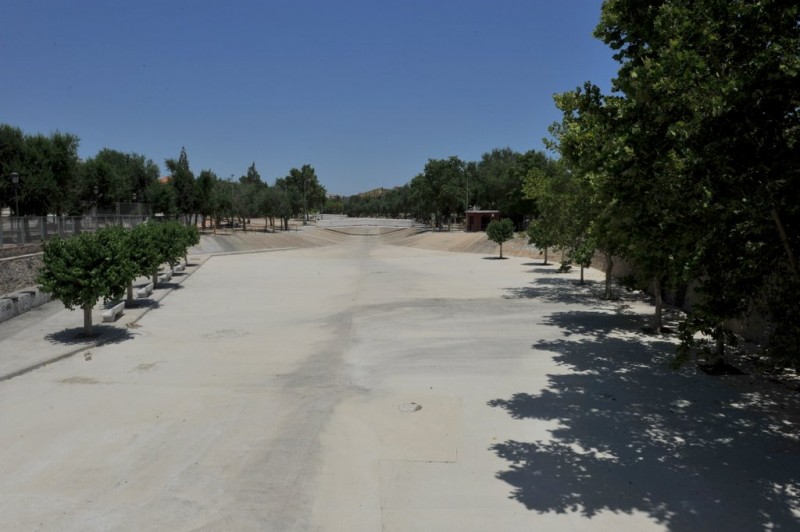
One of these is the Rambla de los Calderones, which skirts the south-eastern edge of the town and has been adapted in recent times in two ways. On the one hand, the actual flood channel itself has been lined with concrete to ensure that it does not become cluttered with undergrowth and debris, leaving it clear to perform its function during storms, while on the other hand the area around it has been converted into a public park.

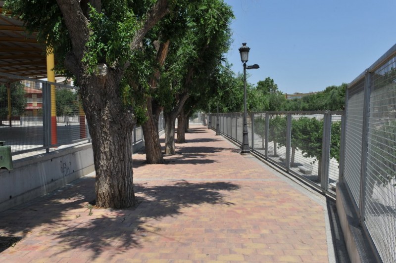
This park runs for a length of around 500 metres between Calle Mayor and Calle Gran Capitán, and occupies an area of over 24,000 square metres. There are children’s play areas, a basketball court, exercise areas for walkers and pensioners, a petanque piste and a cooking area equipped with eighteen barbecues for use by members of the public.
As well as the main path for use by pedestrians, there is also a cycling circuit within the confines of the park.

This is a very pleasant environment, but every few years torrential cloudbursts affect Molina and the streets are suddenly knee-deep in fast-flowing water as it makes its way down the hill from east to west towards the River Segura. At these times the importance of the Rambla is underlined, as it fills to the brim and becomes a raging torrent, even if only for a few short hours!
Click for full information about the Molina de Segura municipality in English


